Doornpanne en Hoge Blekker
The Doornpanne, the Hoge Blekker and the Schipgatduinen collectively form a contiguous dune massif of 235 ha.
The Hoge Blekker (33 ha) is the eye-catcher of our coast. At 33 metres, it is the highest dune in the entire coastline. That's also where it got its name from. It was a steady beacon for sailors who saw its white crown shining from afar ('blekken' in the local dialect). The Hoge Blekker is a solid drifting dune that has travelled quite a distance from the sea towards more inland through the ages.
The outlying area of the Doornpanne (157 ha) also consists of shifting dunes. The central part is a 'panne' or depression of thicket (lots of Buckthorn, hence the name), overgrown inner dunes and dune grassland.
One of the factors that saved the area from subdivision is the presence of the Intercommunale Aquaduin, which extracts drinking water in the area. Looking from the Hoge Blekker, you can see a very large infiltration pond where filtered sewage water seeps back into the dunes. In that way, the groundwater table stays level and drinking water can be extracted.
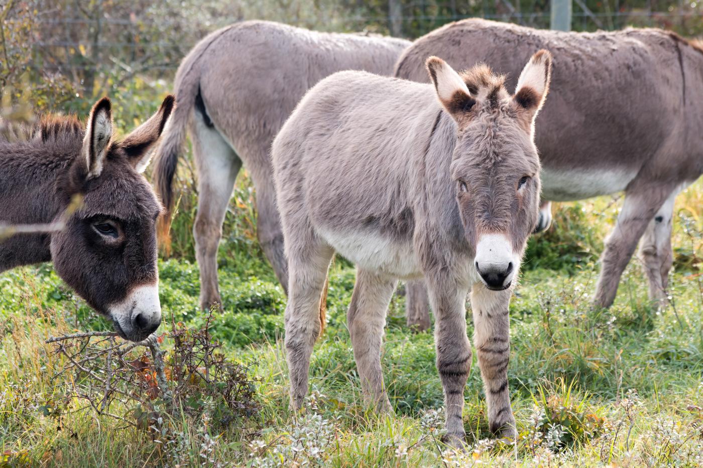
Shetland ponies are grazing on the 2 enclosed areas of 32 and 16 hectares respectively. They keep the vegetation short and thus help to prevent overgrowth.
- Tram stop: Koksijde-Bad (Hoge Blekker) and Oostduinkerke Schipgat before Doornpanne
- Hiking points in Doornpanne - Hoge Blekker are 60, 59, 53, 54, 55, 50, 51, 52
- Between cycle points 58 and 62 (Westhoek and Kust)
- Mountain bike trail Paul Herygersroute
- Visitor centre, Doornpannestraat 2 (also entrance/car park along the Panoramalaan or Hoge Blekkerbad (Pylyserlaan)
